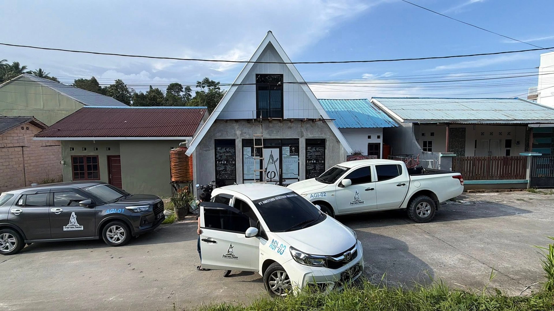
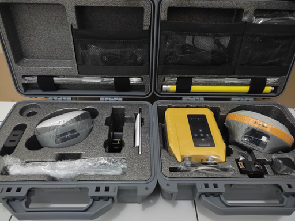
RTK Geodetic+3D Scanning Tofography (Hi-Target GPS Geodetic iRTK+ Hi-Target GPS Geodetic vRTK)
Complete dual GNSS receiver set with accessories
$320.00
Experience unmatched precision in your surveying and geospatial projects with our advanced GNSS Survey Equipment Kit. This comprehensive kit features two state-of-the-art GNSS receivers for superior accuracy, a robust controller device, durable mounting brackets, lightweight extension rods, and all essential cables for seamless operation. Every component is securely organized within rugged, weather-resistant protective carrying cases for effortless transport and safe storage. Perfect for engineers, surveyors, and geospatial professionals, this kit is designed for reliability in the field. Available in professional-grade black and silver finishes, the carrying cases measure 55 x 35 x 20 cm, ensuring portability without compromising capacity. Enhance your workflow with optional tripod stands and high-visibility reflective markers for even greater versatility.
Real-time kinematic (RTK) positioning is a satellite navigation technique used to improve the precision of position data obtained from satellite-based positioning systems.
GPS RTK uses measurements of the phase of the signal carrier wave in addition to the information content of the signal and relies on a single reference station or interpolated virtual stations to provide real-time corrections.
With reference to GPS in particular, these systems are commonly referred to as carrier-phase enhancement, or CPGPS. have applications in land surveying, hydrographic surveying, and unmanned aerial vehicle navigation.
RTK Accuracy Level
RTK is used for applications that require higher accuracy, such as centimeter-level positioning, accuracy up to 1 cm + 1 ppm.